


Eye4Software Hydromagic 5.0.13.314
Eye4Software Hydromagic 5.0.13.314 | 35.5 MB
Eye4Software Hydromagic is a single beam hydrographic survey software package for smaller dredging companies. Using a DGPS and echosounder it is possible to perform hydrographic surveys on job sites to check for instance the progress of the dredging process.
When the survey process has been finished, the data can be edited, corrected and processed to regular spaced data points, which allow you to create a coloured depth map and / or depth contours. By comparing two soundings, you can create a report on the amount of volume dredged or moved.
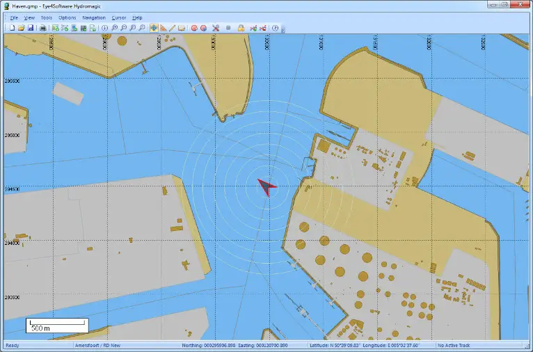
Eye4Software Hydromagic is a hydrographic survey software tool, which can be used to map areas using a GPS and echosounder. Use the software to import, view and edit your maps, display your position and to record depths (create soundings). The software will work with almost any GPS and echosounder, and can be used on any desktop, laptop or netbook computer running Windows XP(SP2) or higher.
Some application examples:
- Record depth data using a GPS and echosounder;
- Show your current position and depth on a loaded map;
- Convert your soundings to a regularly spaced XYZ data (DTM);
- Convert your soundings to different file formats;
- Show cross-sections and calculate volumes;
- Design and generate theoretical DTM's (channel design);
- Create depth contours and save them as ESRI shapefiles;
- Add comments, symbols or routes to your maps;
- Perform realtime positioning on research and hydrographic survey vessels;
- Fishing industry, for instance to navigate inside the assigned fishing parcels;
- View GIS features on shapefiles, CAD and S57 (ENC) data;
Home Page - http://www.eye4software.com/
No mirrors please