

GeoticSection 1.0.13

GeoticSection 1.0.13 | 149.7 Mb
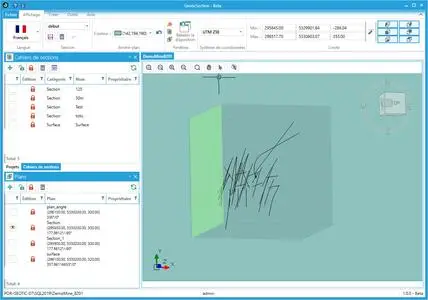
GeoticSection allows plans and section books visualization created from your Geotic database. As its predecessor, GeoticSection offers all the flexibility and the functionalities you need to create quality sections, and much more. This with the same simplicity as GeoticMine. Directly synchronized to GeoticLog, allows importation of 2D section profiles from GeoticSection and GeoticMine.
Features
User-friendly and intuitive environment under Windows 10 or more
Multilingual (French, English, Spanish & Portuguese)
Easy to handle (create sections and section books from that can be positioned by coordinates or selection).
Graphic symbols for structural elements (fault, schistosity, joint, etc.).
High quality drawings
Features can be adapted to all requirements
Creation of 3D drawings in VDCL, VDML, DXF and DWG format (AutoCAD and Micro Station software not required).
Creation of 2D drawings in (PDF, BMP, JPG and PNG)
Color codes (Text and Numeric) are directly linked to the GeoticLog DB.
Possibility to include graphs for geophysics and assaying.
Create and customize legends and titleboxes.
Integration of drilling core photos
Planning of 3D drilling allowing for standard deviation
Export information into CSV or Excel files.
Total control over data presentation including bar charts.
Data block visualization with automatic resizing.
Visualization of all survey’s types existing in the Geotic DB.
Home Page - https://www.geotic.ca/en/geoticsection