


HeliGPS v3.0.12
HeliGPS v3.0.12 | 4.1 MB
HeliGPS is a Windows PC-based system providing easy-to-use GPS guidance and mapping. Using a standard GPS-receiver, an off the shelf netbook, software and an integration device for your equipment is all you need for full GPS guidance and mapping. HeliGPS was developed with the help of Western Helicopter Services in Newberg, OR.
Features
Uses standard Windows based netbook or laptop
Standard Windows Software, easily updatable through the internet
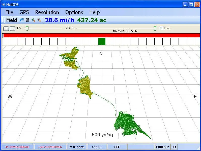
3D - perspective view
Moving map around a centered position
Simple user interface
Standard windows navigation. Many function keys are accessible through a keyboard integration device. It integrates simple momentary switches typically mounted at your cyclic stick or joystick.
Ability to use existing log data as a background
This allows you to see previous applied maps, while you are working on the current application.
Marking points, adding notes
Export points as text file incl. latitude, longitude and notes for use in other applications.
ESRI shape file import and export options
Provide your customers a shape file export of the data. These files can then be imported to ArcGIS, a popular GIS software package.
Google import and export options
View a "as applied" map over Google Earth satellite imagery
Export data to common office applications
Generate Application reports or Invoices directly from HeliGPS in standard office formats (MS Excel, OO Calc)
Tracks product, operator, weather, equipment information within the same mapping file
A simple data entry screen completes your records
Add waypoints (Helipads for example) manually or from csv files
Create references with waypoints or navigate to your Helipads
Low total weight
A typical netbook weighs less than 3 lbs, add GPS receiver and some cabling and its still less than 4 lbs
Several equipment integration options
12 - 28 V sensing boxes or serial integration to Raven or MicroTrak controllers create "as-applied" maps