

Avenza MAPublisher for Adobe Illustrator 11.2
Avenza MAPublisher for Adobe Illustrator 11.2 | 355 Mb
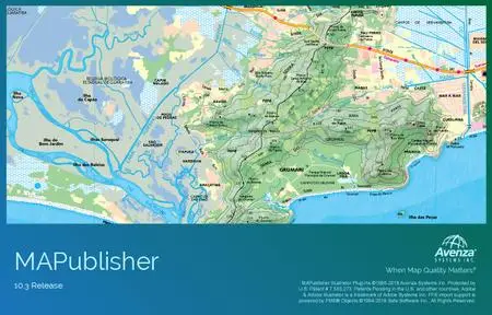
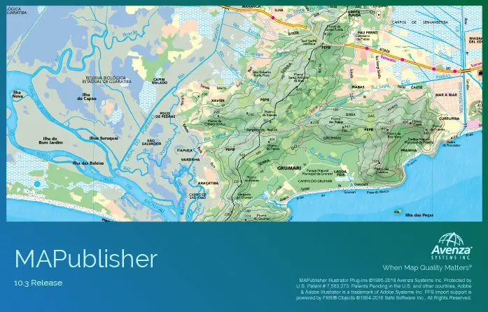
MAPublisher® cartography software seamlessly integrates more than fifty GIS mapping tools into Adobe Illustrator to help you create beautiful maps.Import industry-standard GIS data formats and make crisp, clean maps with all attributes and georeferencing intact using the Adobe Illustrator design environment.
Extensive Geospatial Format Support
Import leading GIS industry formats from Esri, Google, MapInfo, WFS/WMS services, and other GIS sources with all attributes and georeferencing intact and fully editable.
One World, Many Map Projections
Using the appropriate map projection is crucial for any map design. Fortunately, MAPublisher supports thousands of coordinate systems and projections to help you display data accurately.
Treat Spatial Data Like Works of Art
Working with geospatial data doesn’t have to be rigid. MAPublisher offers plenty of flexibility when editing map features in Adobe Illustrator. Create new features on-the-fly, maintain georeferencing when joining data, cropping, trimming, buffering, and simplifying.
Design Smarter, Not Harder
Save time by styling map data based on its attributes. Use MAP Themes to create thematic maps, designate point symbols, and apply graphic styles based on rules that you create.
Precise Label Placement
Create labels based on data attributes. Use the Label Features tool to place labels to map features automatically and fine-tune labeling with the MAP Tagger and Contour Tagger tools. Get MAPublisher LabelPro™ which pairs advanced rules to a sophisticated labeling engine for a more efficient and intelligent label placement.
Export What You Want, Where You Want
Create visually stunning maps that are print-ready. Need to go digital? Export geospatial PDF that contain coordinate system and attribute information. Need a web map? Export your maps using MAP Web Author to create HTML5-compatible web maps without coding knowledge. Take it mobile by exporting map packages compatible with the Avenza Maps app.
Benefits:
Seamless Integration
MAPublisher panels and tools seamlessly integrate into the Adobe Illustrator interface and can be resized, moved, and docked. Quickly launch MAPublisher tools to manage map layers, view map attributes, create and edit theme stylesheets, create selection filters, plot points and much more.
Geospatial Interoperability
It’s all about increased productivity for cartographers and GIS professionals. Easily and quickly import various data formats, create high-quality map products, and export data to different file formats or publish to print and digital formats, including web maps and maps for mobile devices.
Cartographic Workflow
MAPublisher and Adobe Illustrator together form the complete cartographic workflow—from raw data to publishing a high-quality map; and everything in between. Combine powerful graphic design tools and the geospatial precision of MAPublisher tools to build visually-rich maps.
Highly Compatible
MAPublisher is available on Mac and Windows and is compatible with the latest Adobe Illustrator CC 2018 release, ensuring the latest graphic design tools are at your disposal. Licenses available as both fixed single and floating. Floating licenses are cost effective for any commercial, academic, or non-profit organization.
Home Page - https://www.avenza.com/